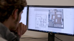
This turnkey processing solution harmonizes hardware and software to minimize time in the field for surveyors, reduce drone photogrammetry to drag and drop and make earthworks more accurate.
- AeroPoints eliminate need for complex surveying equipment
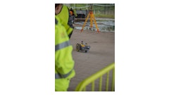
- Survey using one of the company's approved drones
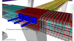
- Team of GIS experts analyze captured datasets
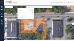
- Accuracy report for each dataset provides total transparency on survey-grade accuracy
Request More Information
Fill out the form below to request more information about Propeller PPK