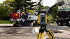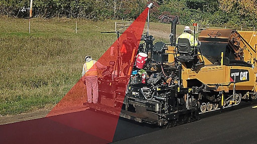

Thermal Mapping monitors the surface temperatures of the asphalt utilizing an infra-red camera and a Global Navigation Satellite System (GNSS) enabled by RTK accuracy helping asphalt contractors achieve higher quality results and earn more incentive pay by exceeding quality targets.
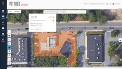
- Viewing real-time temperatures, contractors can identify variations and take action to manage the plant to paver delivery process and fine-tune paving practices for more uniform lay-down temperatures
- Manage the plant to paver mix delivery process in order to minimize thermal variation for up to 15% better consistency
- System consists of no moving parts as the thermal camera mounts on a fixed position mast
Request More Information
Fill out the form below to request more information about Thermal Mapping for Caterpillar Asphalt Pavers